
Leica BLK2FLY Autonomous Flying Laser Scanner
Leica BLK2FLY Autonomous Flying Laser Scanner
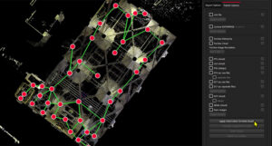
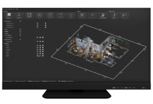
Leica Cyclone REGISTER 360 PLUS – 3D Laser Scanning Point Cloud Registration Software
Leica Cyclone REGISTER 360 PLUS
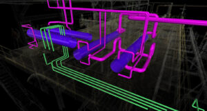
PinPoint – Registration and Modelling Software
PinPoint – Registration and Modelling Software